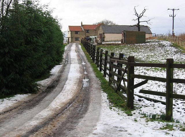



Location: Barlborough, Derbyshire
Places / associated places: Barlborough, Derbyshire
Location & Extent
GPS Location & Recorded Land Areas
Representative GPS point: 53.2991293, -1.2846705
Identity: confirmed — The registry record, authority reference GB/NNAF/M271293, location Barlborough in Derbyshire, and associated archival records all identify the historical manor of Barlborough. Derbyshire archival evidence describes Barlborough as a complex manor divided into moieties, including the Park Hall estate and the Barlborough Hall estate.
Representative point: 53.2991293, -1.2846705
Basis: documented_manor_house — Barlborough Hall is the surviving principal manorial house associated with the Barlborough Hall estate, one of the historical divisions of Barlborough Manor. The coordinate corresponds to the listed Barlborough Hall building at OS grid reference SK 477 782.
Point confidence: high
Boundary status: representative_point_only
Boundary period:
Boundary confidence: none
Boundary basis: The available evidence confirms the manor's location and complex division into the Barlborough Hall and Park Hall estates, but does not provide a verified polygon for the full historical manorial extent. A 1723 Rodes estate map of Barlborough is catalogued, but the accessible evidence does not establish that its mapped area represents the entire manor rather than one estate or landholding. The modern Barlborough Hall registered park boundary cannot be substituted for the historical manor boundary.
Sources:
- Manor of Barlborough, Derbyshire Archives catalogue: https://calmview.derbyshire.gov.uk/CalmView/Record.aspx?id=DS%2FUK%2FM%2F3648&pos=1&src=CalmView.Persons — Describes the medieval and later manorial history of Barlborough, including its division into moieties, the Park Hall estate and the Barlborough Hall estate.
- Barlborough and the Rodes family, Derbyshire Victoria County History: https://derbyshirevch.org/2021/06/barlborough/ — Explains that the holders of Barlborough Hall and Park Hall estates were generally regarded as joint lords of Barlborough Manor from the eighteenth century.
- Barlborough Hall, Historic England listing 1001365: https://historicengland.org.uk/listing/the-list/list-entry/1001365/ — Documents the historic Barlborough Hall park and gardens and identifies the surviving historic manorial centre, while describing the park as a separate designed landscape.
- Barlborough Hall, Historic England listing 1108972: https://historicengland.org.uk/listing/the-list/list-entry/1108972 — Documents the surviving Elizabethan country house built for Sir Francis Rodes in 1583-1584, providing the precise building location used for the representative point.
- Barlborough estate map, 1723, Derbyshire archives map holdings: https://belper-research.com/records_matlock/Maps%20Holdings.pdf — Confirms the existence of a 1723 map of Sir John Rodes's Barlborough estate, associated with archival series D6623, but does not by itself establish the complete boundary of Barlborough Manor.
- TNA/MDR record F253257: https://discovery.nationalarchives.gov.uk/details/c/F253257 — Registry record supplied for the exact manor identity: Barlborough Manor, Barlborough, Derbyshire, authority/reference GB/NNAF/M271293.
Warnings / uncertainty:
- Barlborough Manor was historically divided into distinct manorial interests or estates; Barlborough Hall should be treated as the best documented surviving manorial centre, not necessarily the sole extent of the manor.
- No historically verified full-manor polygon was located in the accessible evidence.
- The registered park and garden around Barlborough Hall is a later designed-landscape boundary and must not be used as the boundary of the medieval or early-modern manor.
About the Manor
A historic manor associated with the village of Barlborough in Derbyshire.
Records & References
Sources and references mentioning this manor/title which are not necessarily conveyances or transfers.
8 records found · showing 1–8.
1827-1827: survey (in poor condition)
Held by: Derbyshire Record Office
Further information: NRA 43670
1723-1723: map
Held by: Derbyshire Record Office
1723-1723: survey field book
Held by: Derbyshire Record Office
1701-1701: estreats of amercements
Held by: Derbyshire Record Office
Further information: NRA 4398
1519-1520: bailiff's accounts, with other manors
Held by: Staffordshire and Stoke-on-Trent Archive Service: Staffordshire County Record Office
Further information: NRA 10 Paget
1514-1516: accounts, with other manors
Held by: Staffordshire and Stoke-on-Trent Archive Service: Staffordshire County Record Office
Further information: NRA 10 Paget
1492-1493: bailiff's accounts, with other manors
Held by: Manchester University: University of Manchester Library
1476-1476: rental, with other manors
Held by: Manchester University: University of Manchester Library
Corrections / Challenges
Sign in to challenge or submit evidence against a recorded assertion.
JSON API
Machine-readable published manor data, including public images, mapped land areas, notes, rights, conveyances, relationships, records, source/document-library entries and public file links.
https://manorialregistry.com/index.php?rest_route=/mhr/v1/manor/barlborough-manor-4734Public API access is currently disabled. Authorised API clients must use a private X-MHR-API-Key; currently only administrator keys are enabled.
Private source files, pending edits, moderation/admin information, user API keys and non-public import identifiers are not returned.