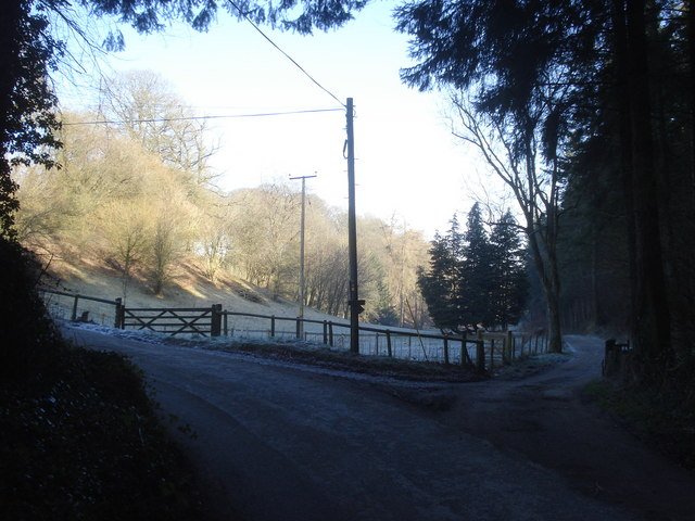



Location: Radnorshire
Places / associated places: Radnorshire
Location & Extent
GPS Location & Recorded Land Areas
Representative GPS point: 52.2457, -3.0568
Identity: confirmed — The exact combined name appears in the Historic Place Names of Wales database for the Evenjobb area of historic Radnorshire. Archaeological research identifies Barland/Burfa as an early manorial centre associated with the Barland motte and the Burfa settlement, matching the registry name and location.
Representative point: 52.2457, -3.0568
Basis: supported_manorial_centre — Burfa is the strongest surviving manorial-centre candidate: the historic Burfa farmhouse lies within the Barland/Burfa complex, is a substantial late-medieval house, and archaeological research identifies Barland/Burfa as an early manorial centre. The nearby Barland house and Barland motte reinforce the identification.
Point confidence: medium
Boundary status: representative_point_only
Boundary period: Not established
Boundary confidence: none
Boundary basis: Available evidence locates the manor in the Barland/Burfa area but does not provide a manor-specific map, survey, rental, parcel list, or other sufficiently explicit perimeter. The 19th-century Barland and Burfa township extent cannot safely be substituted for the historical manorial boundary.
Sources:
- National Archives Discovery: BARLAND AND BURFA MANOR, F242603: https://discovery.nationalarchives.gov.uk/details/c/F242603 — Registry record supplied for the exact manor name and authority reference.
- Historic Place Names of Wales: BARLAND AND BURFA: https://historicplacenames.rcahmw.gov.uk/placenames?hpn=1&hps=10&hs=1&pn=102&ps=10&q=fa&s=1&tab=headnames — Records the exact combined historical place-name Barland and Burfa in the parish of Evenjobb, Radnorshire.
- CPAT, Walton Basin Project 2012–13: https://coflein.gov.uk/media/250/426/652216.pdf — States that early manorial centres at Barland/Burfa were associated with earthwork castles and notes the late-medieval cruck-built hall at Burfa Farm.
- Burfa, Old Radnor, Powys, Cadw-listed building record: https://britishlistedbuildings.co.uk/300009145-burfa-old-radnor — Places the historic Burfa house at latitude 52.2457, longitude -3.0568 and describes its 15th-century origins and historic setting with two castle mottes.
- Barland Motte, Gatehouse Gazetteer: https://www.gatehouse-gazetteer.info/Welshsites/832.html — Identifies the Barland motte in historic Radnorshire at approximately 52.25000, -3.05468 and links it to the medieval Barland site.
- Barland, Old Radnor, Cadw-listed building record: https://britishlistedbuildings.co.uk/300009135-barland-old-radnor — Locates the surviving Barland house at 52.2517, -3.0545 and records the castle motte about 200 metres south, supporting the Barland/Burfa manorial-centre cluster.
Warnings / uncertainty:
- The representative point is a supported manorial-centre proxy at Burfa, not a conclusively documented medieval manor-house coordinate.
- No reliable manor-specific territorial perimeter was found; do not inject a polygon based on the modern parish, civil community, or 19th-century township boundary.
Corrections / Challenges
Sign in to challenge or submit evidence against a recorded assertion.
JSON API
Machine-readable published manor data, including public images, mapped land areas, notes, rights, conveyances, relationships, records, source/document-library entries and public file links.
https://manorialregistry.com/index.php?rest_route=/mhr/v1/manor/barland-and-burfa-manor-4730Public API access is currently disabled. Authorised API clients must use a private X-MHR-API-Key; currently only administrator keys are enabled.
Private source files, pending edits, moderation/admin information, user API keys and non-public import identifiers are not returned.