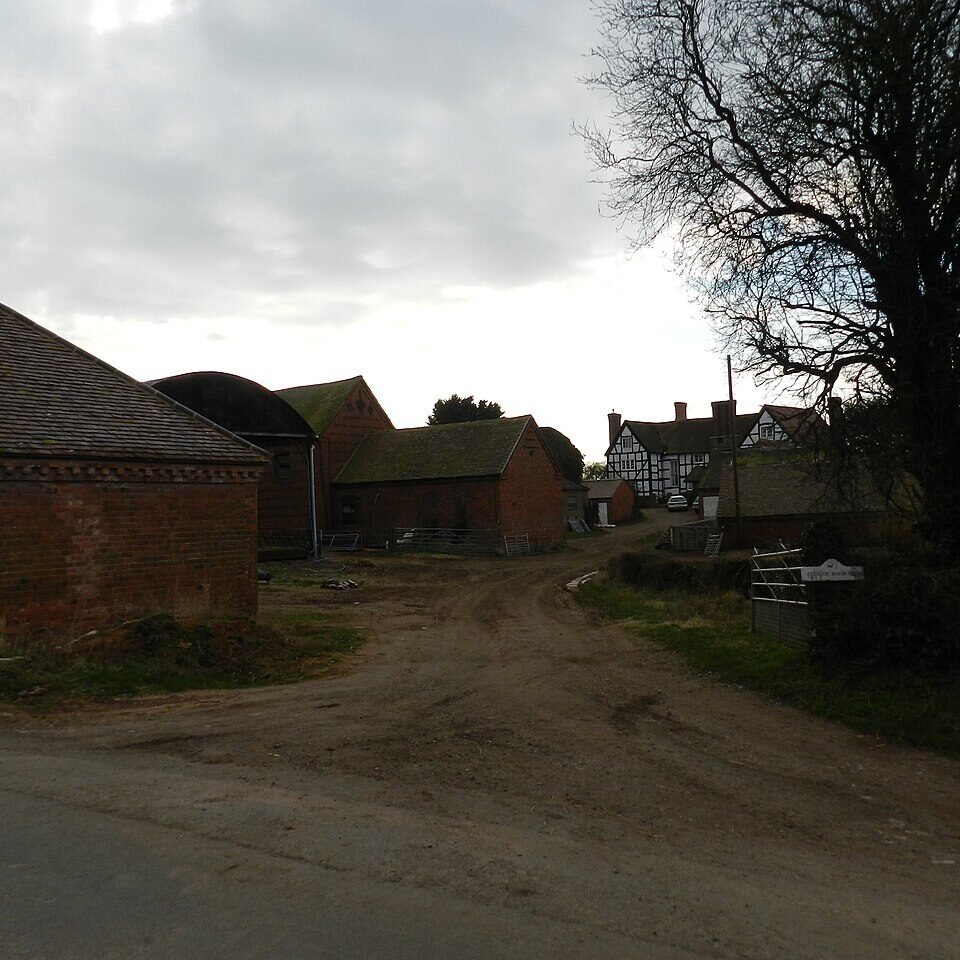



Location: Astwood, Buckinghamshire
Places / associated places: Astwood, Buckinghamshire
Location & Extent
GPS Location & Recorded Land Areas
Representative GPS point: 52.1273, -0.6171
Identity: likely — The registry name and location match the historical manor of Astwood in Astwood parish, Buckinghamshire. Historical accounts describe Astwood as divided into two principal manorial moieties, Astwood Bury and Rokeleys (or Church-end); the surviving documented manorial centre at The Bury is the strongest identifiable site associated with the Astwood manor complex. The exact MDR record details could not be independently retrieved beyond the supplied record reference.
Representative point: 52.1273, -0.6171
Basis: documented_manor_house — The Bury, Turvey Road, Astwood, is a surviving listed C17-C18 building associated with the Astwood Bury manorial centre and lies beside a medieval moated site. Historic England gives National Grid Reference SP9476248571, corresponding to approximately 52.1273, -0.6171.
Point confidence: medium
Boundary status: representative_point_only
Boundary period:
Boundary confidence: none
Boundary basis: The sources establish the location of the Astwood manorial centre and describe Astwood as historically divided between Astwood Bury and Rokeleys/Church-end, but no accessible source provides a manor-specific mapped boundary or sufficiently explicit perimeter. The parish boundary and modern administrative limits cannot be substituted for the historical manorial extent.
Sources:
- The Bury, Astwood - Historic England listing entry 1212193: https://historicengland.org.uk/listing/the-list/list-entry/1212193 — Identifies The Bury on Turvey Road, Astwood; records its location as SP9476248571 and describes the surviving C17-C18 building.
- Astwoodbury - North Crawley Historical Society: https://www.mkheritage.org.uk/nchs/astwoodbury/ — Describes Astwood and Astwood Bury, identifies Astwood Bury as a 360-acre estate with a former mansion, and records its manorial ownership history.
- GENUKI: Astwood, Buckinghamshire: https://www.genuki.org.uk/big/eng/BKM/Astwood — Summarises the historical division of Astwood into the manor of Rokeleys/Church-end and the manor of Astwood-Bury, and records that the Astwood-Bury mansion was demolished in 1799.
- The Bury, Turvey Road, Astwood archaeological investigation: https://eprints.bournemouth.ac.uk/14255/1/ese.pdf — Records archaeological work at The Bury and identifies the site as close to a medieval moated site, supporting its status as a historic manorial centre.
- The National Archives Manorial Documents Register record F242858: https://discovery.nationalarchives.gov.uk/details/c/F242858 — Supplied registry record for ASTWOOD MANOR, reference F242858 and authority GB/NNAF/M204921.
Warnings / uncertainty:
- The historical sources indicate that Astwood comprised more than one manorial holding or moiety; the accessible evidence does not prove that the MDR label ASTWOOD MANOR refers exclusively to Astwood Bury rather than the wider Astwood manor complex or another moiety.
- The representative coordinate is a documented surviving manorial-site coordinate, not a reconstructed centre of the full historical manorial territory.
- No historically defensible manor-specific polygon was found; do not inject a boundary polygon.
Corrections / Challenges
Sign in to challenge or submit evidence against a recorded assertion.
JSON API
Machine-readable published manor data, including public images, mapped land areas, notes, rights, conveyances, relationships, records, source/document-library entries and public file links.
https://manorialregistry.com/index.php?rest_route=/mhr/v1/manor/astwood-manorPublic API access is currently disabled. Authorised API clients must use a private X-MHR-API-Key; currently only administrator keys are enabled.
Private source files, pending edits, moderation/admin information, user API keys and non-public import identifiers are not returned.