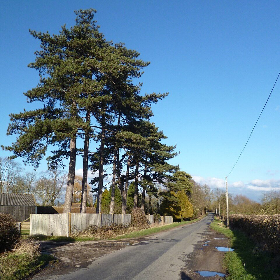



Historical names: Aston
Location: Aston Rowant, Oxfordshire
Places / associated places: Aston Rowant, Oxfordshire
Location & Extent
GPS Location & Recorded Land Areas
Representative GPS point: 51.68573, -0.94869
Identity: confirmed — The registry location and associated place identify Aston Manor as the principal historic manor of Aston Rowant, Oxfordshire. The local historical account distinguishes it from the separate manors of Kingston Blount, Copcourt and Chalford, and records the Aston manor-house, later called Aston House or Aston Rowant House, with ownership and estate history matching the supplied 1677–1735 account-book and 1768 survey leads.
Representative point: 51.68573, -0.94869
Basis: documented_manor_house — Approximate WGS84 position of the documented Aston House/Aston Rowant House manor-house site and surviving stable complex, near the historic lake and park. Geograph identifies the Aston House buildings and entrance to Aston House Stud at OSGB36 SU 72775 99075; local historical material identifies Aston House Stud as occupying the old stables of Aston Rowant House.
Point confidence: medium
Boundary status: representative_point_only
Boundary period: 1768–1828 context available, but no verified perimeter recovered
Boundary confidence: none
Boundary basis: The 1768 Aston Manor estate map and later 1828 estate map are described as showing the manor house, gardens, parkland, meadows, woods and associated estate property. Accessible evidence also indicates that the Aston Rowant estate included substantial holdings in Aston Rowant and some property in Kingston Blount, and that the 1859 estate comprised about 950 acres. However, the available web evidence does not provide a sufficiently legible, georeferenced and manor-specific perimeter. The modern parish boundary and the much larger ancient parish, which formerly included Stokenchurch, must not be substituted for the manorial extent.
Sources:
- The National Archives: Aston Manor, TNA/MDR record F285615: https://discovery.nationalarchives.gov.uk/details/c/F285615 — Registry record identifying the exact manor record and authority reference GB/NNAF/M309649.
- Oxfordshire History Centre: Aston Manor survey, 1768, ref. P324/M/2: https://discovery.nationalarchives.gov.uk/details/r/N17052307 — Research lead for the 1768 manor survey, potentially containing the estate extent and mapped parcels.
- Oxfordshire History Centre: account book with other manors, 1677–1735, ref. SL10/E/1: https://discovery.nationalarchives.gov.uk/details/r/N17051634 — Contemporary manor-management record associated with Aston Manor and other manors.
- The Manors, Aston Rowant Parish Council: https://www.astonrowantparishcouncil.gov.uk/wp-content/plugins/download-attachments/includes/download.php?id=10434 — Identifies Aston Rowant Manor as one of the two principal manors, describes Aston Manor House, its owners, 1768 formal gardens, later park creation, and the estate's substantial holdings.
- Aston Dwellings, Aston Rowant & Chilterns Spring Line Villages: https://astonrowant.wordpress.com/aston-rowant-parish/aston-dwellings/ — Describes the 1768 and 1828 Aston Manor estate maps, the manor-house plan, gardens, parkland, meadows and associated landscape; confirms that the historic manor-house site was in Aston Rowant.
- The Aston Rowant Estate, Near Wallingford, Historic England Archive, ref. SC00833: https://historicengland.org.uk/images-books/photos/volume/SC00833 — 1916 estate-sales archive listing Aston Rowant House, its garden, lake, model dairy, pergola, stable, Home Farm and Middle Farm.
- Aston House buildings, Geograph Britain and Ireland: https://www.geograph.org.uk/photo/943533 — Provides a geotagged position at OSGB36 SU 72775 99075 / WGS84 51.68573, -0.94869, near the Aston House buildings and surviving stable complex.
Warnings / uncertainty:
- The representative point is safe to inject as the documented manor-house site, but it is not a surveyed centre of the full manorial land.
- No historical manor boundary polygon is returned because the accessible evidence describes, but does not adequately reproduce or georeference, the 1768/1828 estate-map perimeter.
- Do not substitute the modern Aston Rowant civil-parish boundary, the ancient parish boundary, or the later 950-acre estate-sale extent for the exact historical manor boundary.
- The manor-house itself was substantially altered and later destroyed by fire in 1957; the point represents the historic site and surviving associated buildings rather than an extant mansion.
About the Manor
A manor at Aston Rowant in Oxfordshire, historically associated with the settlement of Aston Rowant.
Ownership / Holder Account
Aston is recorded in Domesday Book among the holdings of Robert d'Oilly. No further ownership sequence is added here without more certain knowledge.
Records & References
Sources and references mentioning this manor/title which are not necessarily conveyances or transfers.
2 records found · showing 1–2.
1768-1768: survey (draft)
Held by: Oxfordshire History Centre
1677-1735: account book, with other manors
Held by: Oxfordshire History Centre
Corrections / Challenges
Sign in to challenge or submit evidence against a recorded assertion.
JSON API
Machine-readable published manor data, including public images, mapped land areas, notes, rights, conveyances, relationships, records, source/document-library entries and public file links.
https://manorialregistry.com/index.php?rest_route=/mhr/v1/manor/aston-manor-9Public API access is currently disabled. Authorised API clients must use a private X-MHR-API-Key; currently only administrator keys are enabled.
Private source files, pending edits, moderation/admin information, user API keys and non-public import identifiers are not returned.