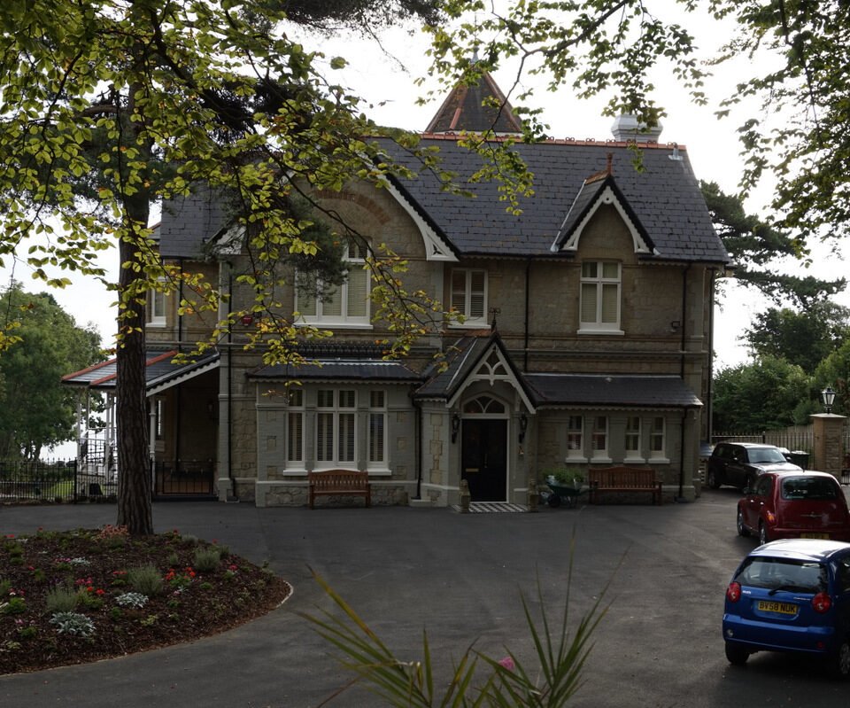



Location: Brading, Isle of Wight
Places / associated places: Brading, Isle of Wight
Location & Extent
GPS Location & Recorded Land Areas
Representative GPS point: 50.66809, -1.17948
Identity: confirmed — The registry location and associated place, Brading, Isle of Wight, match the historical Alverstone manor in the ancient parish of Brading. Historical evidence identifies Alverstone as a Domesday manor and distinguishes it from the later Victorian house called Alverstone Manor near Shanklin.
Representative point: 50.66809, -1.17948
Basis: documented_manor_site — Alverstone Farm is identified by the Isle of Wight Historic Landscape Characterisation as the probable site of the Alverstone manor house. The coordinate is the mapped Alverstone Farm farmyard/site, east of Alverstone village.
Point confidence: medium
Boundary status: representative_point_only
Boundary period: Unspecified; the surviving evidence spans the medieval manor and the 1773 estate-map context.
Boundary confidence: none
Boundary basis: The available web evidence establishes the manor's location and records that its historical holding included land beyond the settlement, including land at Adgestone held of Alverstone. However, the accessible catalogue record for the 1773 map does not expose the map image or a transcribed perimeter, and no reliable historical polygon or set of explicit boundary landmarks could be reconstructed without inventing an extent. The modern parish, civil-parish, or settlement boundary has therefore not been substituted.
Sources:
- The National Archives, F237457: Alverstone Manor: https://discovery.nationalarchives.gov.uk/details/c/F237457 — Registry record supplied for the exact manor identity; the catalogue page confirms the relevant TNA/MDR record but was not fully machine-readable during research.
- The National Archives, JER/HBY/179/1: 1773 map: https://discovery.nationalarchives.gov.uk/details/r/N14249421 — Catalogue lead for the 1773 map held by the Isle of Wight Record Office; the map is potentially the strongest source for the manor's territorial extent, but its boundary content was not accessible in the catalogue response.
- Assessment of archaeological resource in aggregate areas, Isle of Wight: https://archaeologydataservice.ac.uk/catalogue/adsdata/arch-1042-1/dissemination/pdf/IoW_Report_11-03-2011.pdf — States that Alverstone manor is listed in Domesday Book and that Historic Landscape Characterisation identifies Alverstone Farm as the probable site of the manor house.
- Alverstone, Isle of Wight and Hampshire, A Vision of Britain through Time: https://www.visionofbritain.org.uk/place/24011 — Describes Alverston as an ancient manor in Brading parish, on the Yar river, about two miles south-west of Brading.
- Alverstone Manor, Victoria County History-derived summary: https://www.british-history.ac.uk/vch/hants/vol5/pp156-170 — The VCH account records the historical descent of Alverstone manor and its location within Brading parish; it also supports the distinction between the historical manor and later associated estates.
- Alverstone Farm map location: https://mapcarta.com/W397500169 — Provides the mapped Alverstone Farm location and coordinates 50.66809, -1.17948 used as the representative point.
Warnings / uncertainty:
- The coordinate represents the probable historical manor-house site at Alverstone Farm, not the modern Victorian property named Alverstone Manor on Luccombe Road near Shanklin.
- No historically defensible manor-boundary polygon was found. The 1773 map catalogue entry is an important research lead, but its actual mapped boundary was not accessible for reconstruction.
- The manor's tenurial extent may have included dispersed holdings outside the immediate Alverstone settlement, including documented land at Adgestone; the settlement footprint must not be treated as the manor boundary.
About the Manor
A historic manor associated with Alverstone in the parish of Newchurch, Isle of Wight.
Records & References
Sources and references mentioning this manor/title which are not necessarily conveyances or transfers.
1 record found · showing 1–1.
1773: map
Held by: Isle of Wight Record Office
Further information: NRA 33072 Holmes a'Court
Corrections / Challenges
Sign in to challenge or submit evidence against a recorded assertion.
JSON API
Machine-readable published manor data, including public images, mapped land areas, notes, rights, conveyances, relationships, records, source/document-library entries and public file links.
https://manorialregistry.com/index.php?rest_route=/mhr/v1/manor/alverstone-manorPublic API access is currently disabled. Authorised API clients must use a private X-MHR-API-Key; currently only administrator keys are enabled.
Private source files, pending edits, moderation/admin information, user API keys and non-public import identifiers are not returned.