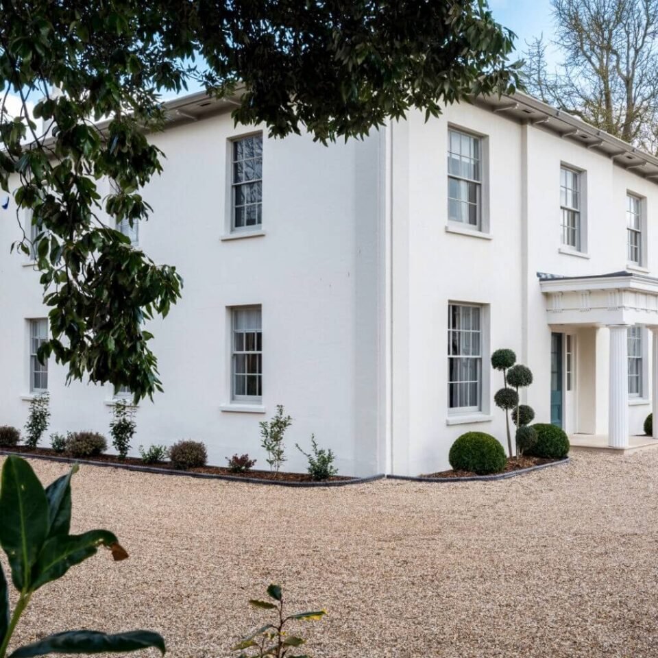



Location: Allington, Dorset
Places / associated places: Allington, Dorset
Location & Extent
GPS Location & Recorded Land Areas
Representative GPS point: 50.7394, -2.7613
Identity: confirmed — The TNA/MDR record F244560 is explicitly identified as Allington Manor in Allington, Dorset, and the associated Dorset History Centre records include a 1666 particular and a 1704 survey of the manor. The locality is the former Allington parish and settlement immediately north-west of Bridport, Dorset, not another English place named Allington.
Representative point: 50.7394, -2.7613
Basis: supported_manorial_centre — The best surviving geographic indicator is the historic core around the former medieval parish church and Allington Vicarage in Parsonage Lane. Dorset Heritage Explorer places the former church site at OS grid reference SY 4625 9358, while the Dorset Historic Towns Survey identifies the Allington historic core as focused on the vicarage and the site of the original medieval church. This is a supported manorial-centre proxy rather than a positively identified surviving manor house.
Point confidence: medium
Boundary status: representative_point_only
Boundary period:
Boundary confidence: none
Boundary basis: The available online evidence confirms the manor's location and indicates its historical agricultural setting, including common arable fields later enclosed in 1799, but it does not provide a sufficiently recoverable perimeter for the manorial land. The modern parish, Bridport boundary, neighbourhood limits, and settlement extent cannot safely be substituted for the historical manor boundary.
Sources:
- The National Archives: Allington Manor, TNA/MDR F244560: https://discovery.nationalarchives.gov.uk/details/c/F244560 — Registry authority record for the exact manor identified as Allington Manor, Dorset.
- Dorset History Centre: Particulars, with other manors, 1666, D/MCY/5601: https://discovery.nationalarchives.gov.uk/details/r/N14306691 — Contemporary manorial particulars listed for Allington Manor among other manors.
- Dorset History Centre: Survey, 1704, D/MCY/5546: https://discovery.nationalarchives.gov.uk/details/r/N14342804 — Survey record corresponding to the registry research lead for Allington Manor.
- Dorset Historic Towns Survey: Bridport, Saxon and Medieval Historical Analysis: https://www.dorsetcouncil.gov.uk/documents/35024/281659/Bridport%2BPart%2B5%2BHistorical%2BAnalysis%2BSaxon%2Band%2Bmedieval%2BOctober%2B2017.pdf/5b269251-aea2-113e-d54b-382187d184f6?t=1668090062210 — Describes Allington as a medieval settlement with an earlier chapel/church and provides the historical context linking the settlement to its medieval core.
- Dorset Historic Towns Survey: Bridport, Historic Urban Character Area 9 Allington: https://www.dorsetcouncil.gov.uk/documents/35024/281659/Bridport%2BPart%2B6%2BHistoric%2BUrban%2BCharacter%2BArea%2B9%2BOctober%2B2017.pdf/c8271a32-965c-4ef0-476d-1087553d6e91?t=1668088265375 — States that Allington originated as a Saxon manor and that its historic core is focused around Allington Vicarage and the site of the original medieval church.
- Dorset Heritage Explorer: St Swithun's Church, Allington, MDO491: https://heritage.dorsetcouncil.gov.uk/Monument/MDO491 — Locates the former medieval church site and associated vicarage-garden archaeological area at OS grid reference SY 4625 9358, used for the representative point.
- Robert Nicholas: Allington enclosure and manor notes: https://www.multiwords.de/genealogy/Ni14RobertNicholas.html — Reports the manor's pre-enclosure East and West common fields and the 1799 enclosure context, supporting the conclusion that the historical extent was agricultural and not identical to the modern built-up settlement.
Warnings / uncertainty:
- No reliable online source located a complete historical boundary map or reconstructable perimeter for the manorial land.
- The representative point is based on the documented historic core around the former medieval church and vicarage, not on a surviving manor house explicitly identified by the sources.
- The modern civil parish, Bridport urban boundary, and present Allington neighbourhood were not used as a substitute manor polygon.
About the Manor
A manor associated with Allington in Dorset. No more specific physical or institutional description is added without source verification.
Records & References
Sources and references mentioning this manor/title which are not necessarily conveyances or transfers.
2 records found · showing 1–2.
1704-1704: survey
Held by: Dorset History Centre
1666-1666: particulars, with other manors
Held by: Dorset History Centre
Corrections / Challenges
Sign in to challenge or submit evidence against a recorded assertion.
JSON API
Machine-readable published manor data, including public images, mapped land areas, notes, rights, conveyances, relationships, records, source/document-library entries and public file links.
https://manorialregistry.com/index.php?rest_route=/mhr/v1/manor/allington-manor-2Public API access is currently disabled. Authorised API clients must use a private X-MHR-API-Key; currently only administrator keys are enabled.
Private source files, pending edits, moderation/admin information, user API keys and non-public import identifiers are not returned.