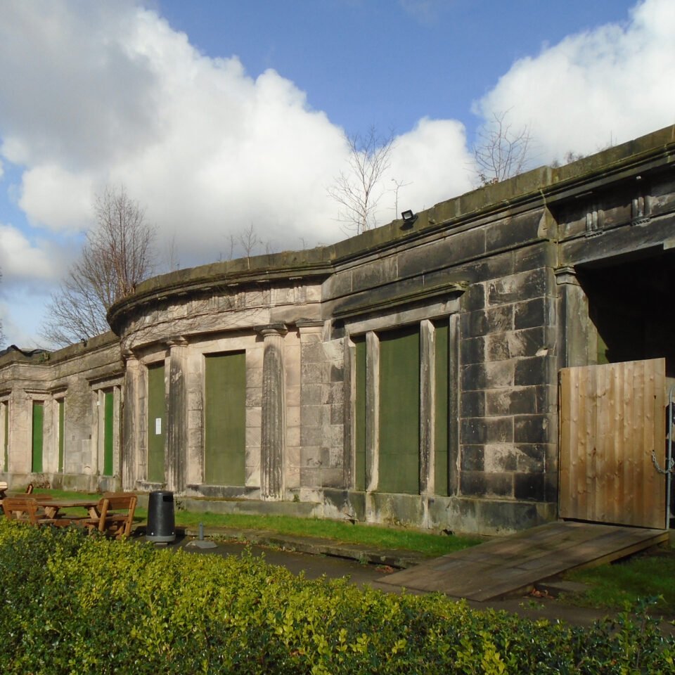



Location: Liverpool, Lancashire
Places / associated places: Liverpool, Lancashire
Location & Extent
GPS Location & Recorded Land Areas
Representative GPS point: 53.3634, -2.87923
Identity: confirmed — The registry record is matched by the supplied TNA/MDR record and by the associated 1567–1568 evidence concerning the boundary between the manors of Allerton and Wavertree, together with the 1568 map of the manor. The historical location is the Allerton manor in the former parish of Childwall, Lancashire, now Liverpool, Merseyside, not another same-named manor.
Representative point: 53.3634, -2.87923
Basis: documented_manor_house — Allerton Hall, Springwood Avenue, is identified by a scholarly archaeological study as representing the core of the former manorial demesne. Historic England records that the Lathom family, lords of Allerton, maintained a house on this site and that the manor estate later descended through Percival, Hardman and other owners. National Grid Reference SJ4159085533 converts to approximately 53.3634, -2.87923.
Point confidence: high
Boundary status: representative_point_only
Boundary period: Medieval to early modern; partial boundary evidence specifically documented for 1567–1568
Boundary confidence: none
Boundary basis: The 1568 Duchy of Lancaster map and related evidence document a disputed section of the boundary between Allerton and Wavertree, with boundary markers including the Calderstones, Rogerstone and Pykelloohill. Scholarly analysis confirms that the map shows the manor house and aspects of Allerton's land use, including common pasture and the demesne, but the available sources do not provide a sufficiently legible and complete perimeter of the historical manorial land. The evidence also indicates that Allerton comprised several estates and that some medieval holdings, including Cockersand Abbey land, cannot be located precisely. A complete manor polygon would therefore be speculative.
Sources:
- Allerton Hall, Historic England listing 1063751: https://historicengland.org.uk/listing/the-list/list-entry/1063751 — Identifies Allerton Hall at Springwood Avenue, gives National Grid Reference SJ4159085533, and records the historical manor house site and descent of the Allerton estate from the Lathoms.
- TNA record: evidence relating to boundary between manors of Allerton and Wavertree, 1567–1568: https://discovery.nationalarchives.gov.uk/details/r/N14298828 — Primary archival lead documenting the disputed historical boundary between the two manors.
- TNA record: map of manor, with Wavertree, 1568: https://discovery.nationalarchives.gov.uk/details/r/N14352358 — Primary map record for the 1568 plan of Allerton and Wavertree, formerly referenced as Duchy of Lancaster plan 73.
- Ron Cowell, Liverpool Urban Fringes: Allerton township study: https://www.merseysidearchsoc.com/uploads/2/7/2/9/2729758/jmas_11_paper_2.pdf — States that Allerton's former demesne core is represented by Allerton Hall, that the manor house is shown on the 1568 map, and that several medieval landholdings cannot be located precisely.
- Mike Royden, The Calderstones and the 1568 boundary dispute: https://www.roydenhistory.co.uk/mrlhp/articles/mikeroyden/liverpool/calders/calders.htm — Summarizes the 1568 Allerton–Wavertree boundary investigation and identifies the historical boundary markers shown on the map.
- TNA/MDR manor record F245223: https://discovery.nationalarchives.gov.uk/details/c/F245223 — Registry record supplied for the exact manor identity.
Warnings / uncertainty:
- Allerton Hall is a defensible representative point and the documented core of the former demesne, but it should not be treated as the centre of the entire historical manor without qualification.
- The available 1568 evidence concerns a disputed boundary section and does not establish a complete, safely reconstructable perimeter for the manorial land.
- The historical manor must not be substituted with the modern Liverpool administrative boundary, modern Allerton suburb, parish boundary or present-day estate boundary.
About the Manor
Historic manor associated with the former township of Allerton in south Liverpool, Lancashire.
Records & References
Sources and references mentioning this manor/title which are not necessarily conveyances or transfers.
2 records found · showing 1–2.
1568-1568: map of manor, with Wavertree
Held by: The National Archives
Further information: See Former reference in The National Archives: DL 31/73
1567-1568: evidence rel to boundary between manors of Allerton and Wavertree
Held by: The National Archives
Corrections / Challenges
Sign in to challenge or submit evidence against a recorded assertion.
JSON API
Machine-readable published manor data, including public images, mapped land areas, notes, rights, conveyances, relationships, records, source/document-library entries and public file links.
https://manorialregistry.com/index.php?rest_route=/mhr/v1/manor/allerton-manorPublic API access is currently disabled. Authorised API clients must use a private X-MHR-API-Key; currently only administrator keys are enabled.
Private source files, pending edits, moderation/admin information, user API keys and non-public import identifiers are not returned.