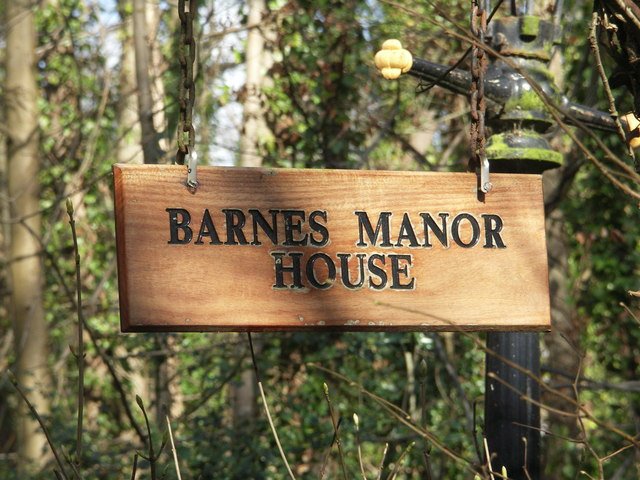



Location: Brenchley, Kent
Places / associated places: Brenchley, Kent
Location & Extent
GPS Location & Recorded Land Areas
Representative GPS point: 51.1537, 0.3951
Identity: confirmed — The record is the Barnes Manor appendant to the rectory of Brenchley and formerly belonging to Tonbridge Priory. The associated manor house is identified in the surviving architectural and historical evidence as Brenchley Manor, formerly the Old Parsonage, where Elizabeth Fane held the manor as her dower house. This distinguishes it from other English manors named Barnes.
Representative point: 51.1537, 0.3951
Basis: documented_manor_house — Brenchley Manor, formerly the Old Parsonage, Brenchley Road. Historic England records the surviving sixteenth-century manor house at NGR TQ 67595 42105, corresponding approximately to 51.1537, 0.3951 WGS84.
Point confidence: high
Boundary status: representative_point_only
Boundary period: medieval to early nineteenth century
Boundary confidence: none
Boundary basis: The sources establish the manor's location and that it included land and appurtenances associated with the rectory of Brenchley. The East Sussex archive catalogue confirms the existence of a 1642 schedule of field-names and acreages and a 1642 map for the manor, as well as later rentals and quit-rent records. However, the accessible evidence does not reproduce the map or identify enough boundary landmarks or parcels to reconstruct a defensible historical manorial perimeter. The modern parish or civil-parish boundary must not be substituted.
Sources:
- Brenchley Manor, Brenchley and Matfield — Historic England listing 1277671: https://historicengland.org.uk/listing/the-list/list-entry/1277671 — Identifies Brenchley Manor, formerly the Old Parsonage, as a sixteenth-century manor house; gives NGR TQ 67595 42105 and describes Elizabeth Fane as having the Manor as her dower house.
- Archway about 15 metres east of Brenchley Manor — Historic England listing 1249084: https://historicengland.org.uk/listing/the-list/list-entry/1249084 — Confirms the precise manor-house location at NGR TQ 67595 42105 and records the associated sixteenth-century Elizabeth Fane architectural context.
- Brenchley, Its Church and Ancient Houses — Archaeologia Cantiana, volume 13: https://kentarchaeology.s3.eu-west-2.amazonaws.com/files/archcant/1880%2013%20Brenchley%20%20Its%20Church%20and%20Ancient%20Houses%20Wadmore_4.pdf — States that in 1347 the lands called Barnes were included with the rectory of Brenchley and describes the historical connection of Barnes Manor with the rectory and Tonbridge Priory.
- The National Archives catalogue: 1642 schedule of field-names and acreages, SAS/CO 3/293/1: https://discovery.nationalarchives.gov.uk/details/r/N17344530 — Catalogue record for the manor's 1642 schedule of field-names and acreages, a primary source relevant to territorial extent.
- The National Archives catalogue: 1642 map, SAS/CO 3/293/19: https://discovery.nationalarchives.gov.uk/details/r/N17344532 — Catalogue record for the manor's 1642 map, potentially the best primary boundary source, but the accessible catalogue page does not provide the map image or its mapped perimeter.
- The National Archives catalogue: extracts from court rolls, SAS/CO 3/293/13-14: https://discovery.nationalarchives.gov.uk/details/r/N17343802 — Confirms surviving court-roll extracts for Barnes Manor covering 1620-1818.
- TNA/MDR record F287576: https://discovery.nationalarchives.gov.uk/details/c/F287576 — Registry record for Barnes Manor in Brenchley, Kent, under authority/reference GB/NNAF/M313624.
Warnings / uncertainty:
- No reliable accessible source supplies a complete historical polygon for Barnes Manor.
- The 1642 map and field-name schedule are catalogued but were not available in the accessible catalogue pages as reproductions or machine-readable boundary data.
- Do not use the modern Brenchley and Matfield civil-parish boundary as the manor boundary.
Records & References
Sources and references mentioning this manor/title which are not necessarily conveyances or transfers.
15 records found · showing 9–15.
1775-1775: quit rent account
Held by: East Sussex and Brighton and Hove Record Office (ESBHRO)
Further information: NRA 5332
1695-1695: rental
Held by: East Sussex and Brighton and Hove Record Office (ESBHRO)
Further information: NRA 5332
1668-1668: rental
Held by: East Sussex and Brighton and Hove Record Office (ESBHRO)
Further information: NRA 5332
1659-1659: rental
Held by: East Sussex and Brighton and Hove Record Office (ESBHRO)
Further information: NRA 5332
1642-1642: map
Held by: East Sussex and Brighton and Hove Record Office (ESBHRO)
Further information: NRA 5332
1642-1642: schedule of field-names and acreages
Held by: East Sussex and Brighton and Hove Record Office (ESBHRO)
Further information: NRA 5332
1620-1818: extracts from court rolls (extracts made 1818)
Held by: East Sussex and Brighton and Hove Record Office (ESBHRO)
Further information: NRA 5332
Corrections / Challenges
Sign in to challenge or submit evidence against a recorded assertion.
JSON API
Machine-readable published manor data, including public images, mapped land areas, notes, rights, conveyances, relationships, records, source/document-library entries and public file links.
https://manorialregistry.com/index.php?rest_route=/mhr/v1/manor/barnes-manor-4767Public API access is currently disabled. Authorised API clients must use a private X-MHR-API-Key; currently only administrator keys are enabled.
Private source files, pending edits, moderation/admin information, user API keys and non-public import identifiers are not returned.