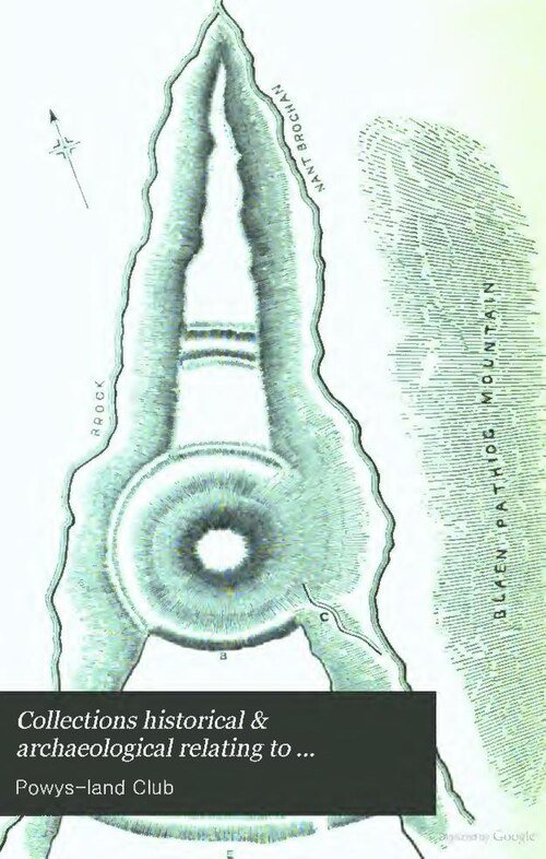



Location: Montgomeryshire
Places / associated places: Montgomeryshire
Location & Extent
GPS Location & Recorded Land Areas
Representative GPS point: 52.5165, -3.461
Identity: confirmed — The exact manor is identified as the medieval and later manorial centre of Arwystli Iscoed at Pen-prys/Pen Prys, now represented by Park or Parc Penprys in Llanwnog, approximately 2 km west of Caersws. The Heneb Historic Environment Record explicitly states that Pen-prys was the manorial centre and administrative centre of the commote of Arwystli Iscoed, and that the site is now represented by the farm of Park.
Representative point: 52.5165, -3.4610
Basis: documented_manor_site — Pen-prys/Pen Prys, now Park or Parc Penprys, identified by the Heneb Historic Environment Record as the manorial centre of Arwystli Iscoed. The HER gives NGR SO00979199; the converted point is approximately 52.5165, -3.4610 WGS84.
Point confidence: high
Boundary status: representative_point_only
Boundary period: Medieval to post-medieval, with surviving manorial divisions documented after the 1536 Acts of Union
Boundary confidence: none
Boundary basis: Available evidence establishes the manor's administrative centre and indicates that Arwystli Iscoed corresponded broadly to the lower division of Arwystli Hundred. Documentary and historic-landscape sources identify associated townships and parishes including Llanwnog, Llandinam, Penstrowed, parts of Trefeglwys and parts of Carno, while later estate records name holdings in Weeg, Llanwnog, Park, Penstrowed, Glynhafren, Trefeglwys and Llanidloes. However, the sources located do not provide a complete, unambiguous perimeter of the historical manorial land. A modern parish, hundred, community or estate boundary would not be a safe substitute.
Sources:
- Heneb Historic Environment Record: Pen-prys, Llys, PRN 142444: https://archwilio.org.uk/her/chi3/report/page.php?watprn=CPAT142444 — Identifies Pen-prys as the manorial centre and administrative centre of Arwystli Iscoed; gives NGR SO00979199; states that the site is now represented by Park, formerly Park Penprice and Penprys.
- Heneb Historic Landscape Characterisation: Caersws Basin Administrative Landscape: https://heneb.org.uk/archive/cpat/projects/longer/histland/caersws/swsadm.htm — Describes the lower division of Arwystli Hundred as broadly corresponding to Arwystli Iscoed and lists the historically associated manorial townships and parishes.
- Heneb Historic Landscape Character Area: Cerist, Caersws and Llandinam communities: https://heneb.org.uk/archive/cpat/projects/longer/histland/caersws/1181.htm — Confirms that Park, formerly Pen-prys, was a manor and possible administrative centre of Arwystli Iscoed from at least the later thirteenth century.
- National Library of Wales Archives: copies of Crown grants concerning the manors of Arwystli and Cyfeiliog: https://archifau.llyfrgell.cymru/index.php/copies-of-grant-from-crown-to-sir-thomas-middleton-of-manors-arustley-and-kevilliocke-20-july-1629 — Records the 1578 grant involving Parke Penprice, Penstrowed, Glin Haveren, Esker y Maine and other lands in the lordship of Arustley, supporting the wider manorial-land context but not supplying a complete boundary.
- University of Oxford, Wales property catalogue: https://univ.ox.ac.uk/wp-content/uploads/2018/04/Wales.pdf — Describes later leases of lands in Weege, Llanwnog, Park, Penstrowed, Glynhaveren, Trefeglwys and Llanidloes as premises in the manors of Ischoyd and Uchoyd Arustley.
Warnings / uncertainty:
- The manor's location is securely established at Park/Pen-prys, but no complete historical manor boundary polygon was found.
- The documented territorial references concern a medieval commote/lordship and later manorial townships; they should not be treated as an exact modern or cadastral boundary.
- The representative coordinate is rounded because the historical site evidence is given as an NGR and the surviving modern place is a farm complex rather than a precisely documented manor-house footprint.
Records & References
Sources and references mentioning this manor/title which are not necessarily conveyances or transfers.
27 records found · showing 1–8.
1991: map, Montgomeryshire and western Shropshire showing townships (and manors)
Held by: National Library of Wales: Department of Collection Services
1895: court roll
Held by: National Library of Wales: Department of Collection Services
1895: correspondence, with other manors (in bundles)
Held by: National Library of Wales: Department of Collection Services
1885: notice of holding court, with other manors
Held by: North East Wales Archives (NEWA), Ruthin (formerly Denbighshire Archives)
Further information: NRA 27821
1884-1889: correspondence, with other manors (in bundles)
Held by: National Library of Wales: Department of Collection Services
1884-1889: court rolls
Held by: National Library of Wales: Department of Collection Services
1874-1895: court rolls
Held by: National Library of Wales: Department of Collection Services
Further information: NRA 30545 Williams-Wynn
1874: letter rel to court rolls, with other manors
Held by: National Library of Wales: Department of Collection Services
Further information: NRA 30545 Williams-Wynn
Corrections / Challenges
Sign in to challenge or submit evidence against a recorded assertion.
JSON API
Machine-readable published manor data, including public images, mapped land areas, notes, rights, conveyances, relationships, records, source/document-library entries and public file links.
https://manorialregistry.com/index.php?rest_route=/mhr/v1/manor/arwystli-iscoed-manorPublic API access is currently disabled. Authorised API clients must use a private X-MHR-API-Key; currently only administrator keys are enabled.
Private source files, pending edits, moderation/admin information, user API keys and non-public import identifiers are not returned.