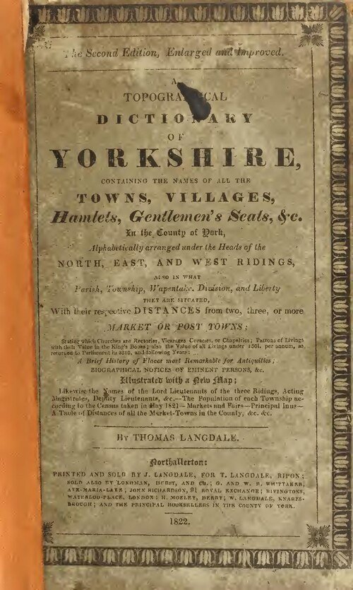



Historical names: Appleton; Appleton-le-Moors
Location: Lastingham, Yorkshire
Places / associated places: Lastingham, Yorkshire
Location & Extent
GPS Location & Recorded Land Areas
Representative GPS point: 54.2791, -0.8711
Identity: confirmed — The TNA/MDR record F243583 is explicitly titled APPLETON LE MOORS MANOR and is located in the Lastingham, Yorkshire context. Historical and local-government evidence identifies Appleton le Moors as a medieval settlement and landholding unit within the wider Spaunton manorial/abbey estate, distinguishing it from other Appleton places.
Representative point: 54.2791, -0.8711
Basis: documented_manor_site — Manor Farmhouse on Village Street/Headlands Road is the strongest surviving named manorial site in Appleton le Moors. The North York Moors appraisal places a medieval chapel at the southern end of the village, now represented by Manor Farmhouse and Manor Cottage; the listed Manor Farmhouse has documented coordinates at OS grid reference SE7360287634.
Point confidence: medium
Boundary status: representative_point_only
Boundary period: Medieval to post-medieval; exact period of the F243583 record is not stated in the available online catalogue evidence.
Boundary confidence: none
Boundary basis: Available evidence establishes the manor's location but not a defensible perimeter. Appleton le Moors was historically associated with the larger Manor of Spaunton and St Mary's Abbey estate. Medieval reorganisation incorporated Baschebi and added a north field, while later evidence concerns the Appleton le Moors township, enclosure and tithe mapping rather than a separately mapped manor boundary. The surviving online sources do not provide a manor-specific boundary polygon or enough explicit perimeter landmarks to reconstruct one without conflating the manor with the parish, township or Spaunton estate.
Sources:
- The National Archives Discovery: Appleton le Moors Manor, F243583: https://discovery.nationalarchives.gov.uk/details/c/F243583 — Primary TNA/MDR catalogue record supplied for the exact registry manor; record title and reference identify the manor.
- Appleton le Moors Conservation Area Character Appraisal and Management Plan: https://www.northyorkmoors.org.uk/__data/assets/pdf_file/0023/206528/Item-8-Appendix-1%2C-Appleton-le-Moors-CAA-accessible-2026.pdf — States that Appleton le Moors was under the Manor of Spaunton, describes its Domesday and abbey-estate context, medieval reorganisation including Baschebi and the north field, and locates the medieval chapel at the present Manor Farmhouse and Manor Cottage site.
- Historic England: Manor Farmhouse and Attached Outbuildings to Right and Rear, Appleton-le-Moors: https://historicengland.org.uk/listing/the-list/list-entry/1296192 — Authoritative listed-building record for the surviving Manor Farmhouse; gives listing grid reference SE7360287634, supporting the representative coordinates.
- Manorial and tenurial landscapes in the Lastingham area, Durham University thesis: https://etheses.durham.ac.uk/id/eprint/3183/1/3183_1208.pdf — Discusses the Domesday landholdings in Appleton, Baschebi, Lastingham and Spaunton, indicating multiple and changing landholdings rather than a simple modern-parish-equivalent manor boundary; records the existence of an Appleton-le-Moors tithe plan.
- North Yorkshire County Record Office Publications No. 41: Enclosure Awards and Maps: https://archivesunlocked.northyorks.gov.uk/CalmView/GetMultimedia.ashx?db=Catalog&fname=05%5Cb9042b-bcba-4bb4-8c2e-d84c6e7fb747.pdf&type=default — Lists the 1767 Appleton le Moors enclosure, including Hambley stinted pasture, but notes the map is missing; this supports the existence of township-level historical land evidence without supplying a usable manor perimeter.
- North Yorkshire Tithe Maps Project: Appleton le Moors: https://northyorkstithes.com/appleton-le-moors/ — Confirms that an Appleton le Moors tithe map is available as a research lead, but a tithe/township map is not in itself proof of the separate manorial boundary.
Warnings / uncertainty:
- Do not substitute the modern Appleton-le-Moors civil parish or township boundary for the historical manor.
- The Appleton le Moors lands formed part of, or were reorganised within, the wider Spaunton/St Mary's Abbey estate; the record name does not by itself prove that the manor equalled the whole parish or township.
- The representative point is suitable for geocoding the manor record, but the evidence is insufficient for safe polygon injection.
About the Manor
Historic manor associated with Appleton-le-Moors, a township in the parish of Lastingham in the North Riding of Yorkshire.
Corrections / Challenges
Sign in to challenge or submit evidence against a recorded assertion.
JSON API
Machine-readable published manor data, including public images, mapped land areas, notes, rights, conveyances, relationships, records, source/document-library entries and public file links.
https://manorialregistry.com/index.php?rest_route=/mhr/v1/manor/appleton-le-moors-manorPublic API access is currently disabled. Authorised API clients must use a private X-MHR-API-Key; currently only administrator keys are enabled.
Private source files, pending edits, moderation/admin information, user API keys and non-public import identifiers are not returned.